A new paved trail connecting Truckee to Northstar through the Martis Valley offers a great walk, run, or ride with beautiful views across the valley and toward surrounding peaks and ridges.
Placer County and the Northstar Community Service District held a ribbon cutting for the new trail at the end of August, opening the 4.6-mile (one way) trail to the public. Walkers, runners, or riders can join the trail from either from Schaffer Mill Road in the north (no parking) or from the Castle Peak Parking Lot at Northstar in the south (the same used to access Elizabethtown Meadows Trail).
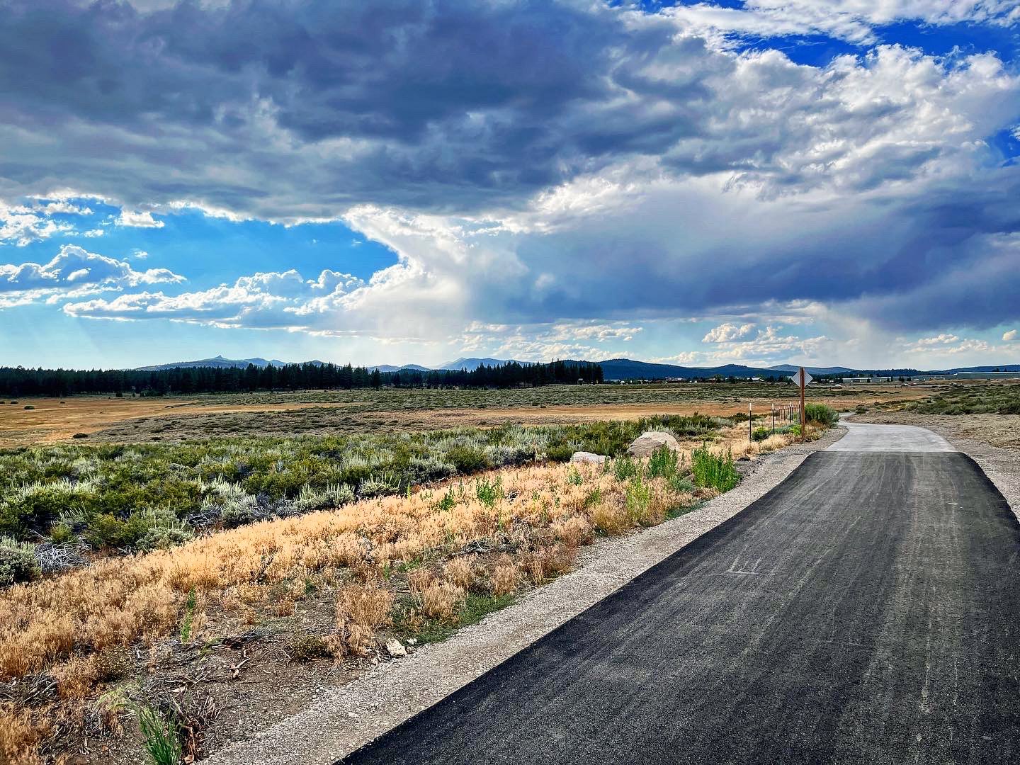
Heading toward Truckee on the trail.
Starting from Northstar, the trail descends in a series of swooping bends through the forest down to the Martis Valley, where views in all directions open up, giving you glimpses of Martis Peak, the Sierra Crest, Frog Lake Cliff, and Castle Peak in the distance. This time of year a few flowers still offer splashes of color along the trail amid the sage and grasses.
The trail crosses a dirt path for the Martis Valley Wildlife Viewing Area, and passes two covered seating areas perfect for a picnic or a snack while taking in the views.
Approaching Truckee, the trail crosses two properties acquired by the Truckee Donner Land Trust to make way for this trail. Visitors can continue on along paved trails paralleling Highway 267 into town, linking with the Brockway Trail and even the Truckee River Legacy Trail, which follows the river from the Truckee River Regional Park to Glenshire (and soon west along our Truckee Springs property!)
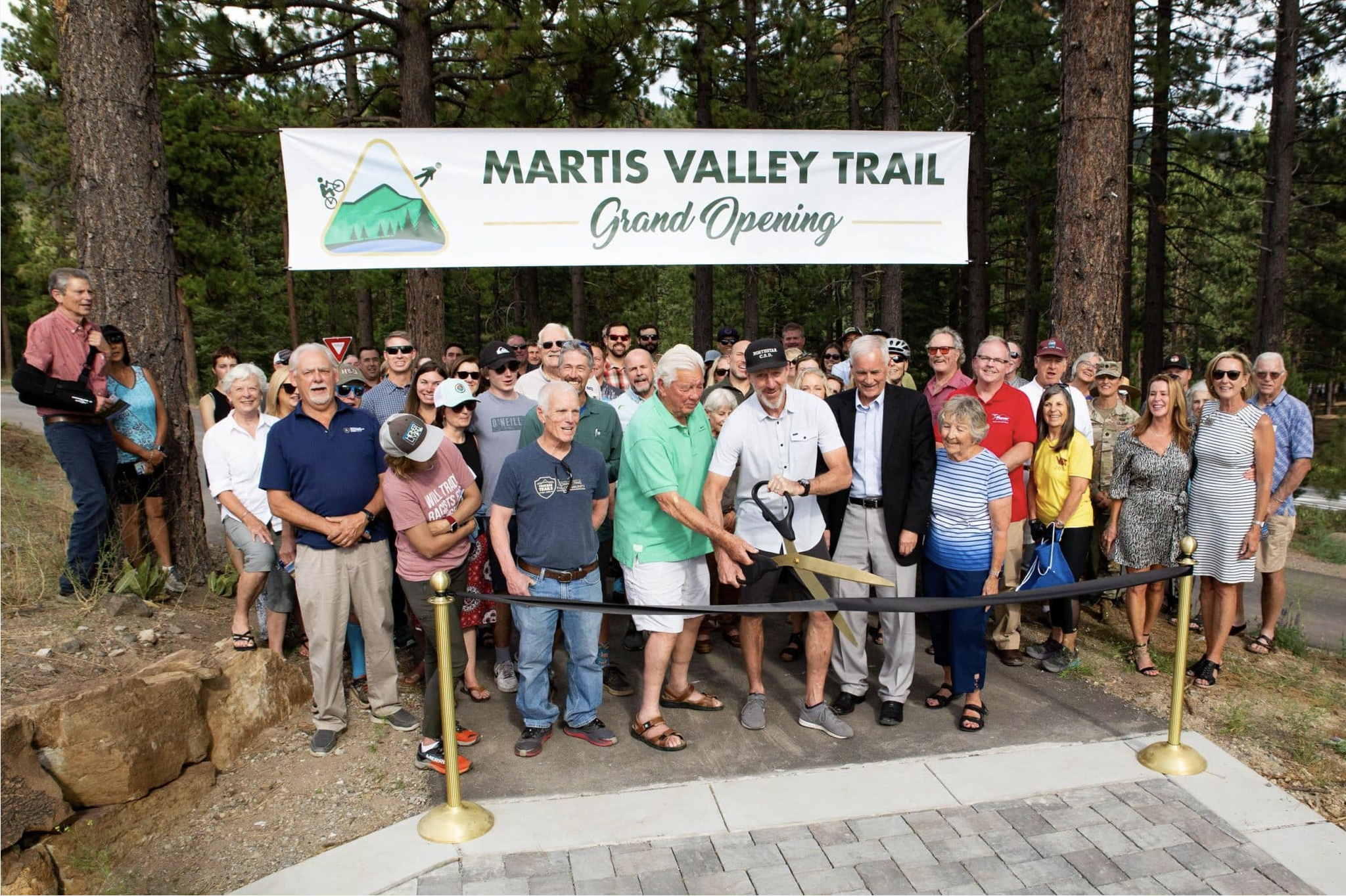
The ribbon cutting on the new trail, courtesy Placer County.
Eventually, the goal will be to extend the trail south over Brockway Summit to Kings Beach, continuing west to Tahoe City, and eventually back up Highway 89 again connecting with the Legacy Trail on Truckee Springs. This trail was a collaboration between Placer County, the Northstar Community Services District, US Army Corps of Engineers, Northstar California, Truckee Trails Foundation, and Truckee Donner Land Trust. Washoe Tribe members were also consulted and information on their history in the area are planned.
Courtesy of the Truckee Donner Land Trust
Leave a Reply